by Ruth Wyman Neagle • Treasurer of the MPA board

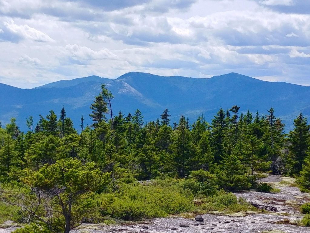
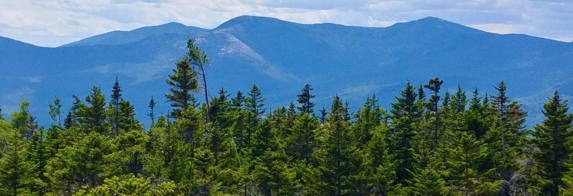
Thinking of taking your hiking adventures further afield than Pleasant Mountain in our own backyard? The White Mountain National Forest offers 1,225 square miles of possibilities. One of my favorites is the under-appreciated Evans Notch, which straddles the border of New Hampshire and Maine and is an easy, quick drive from Moose Pond. Evans Notch avoids most of the big crowds that swarm the more popular “4,000 Footer” and “52 With a View” peaks, due to the generally lower elevation, further distance from Boston, and inaccessibility in winter. There are hikes for all abilities and interests in Evans Notch, from an easy, wooded stroll around Shell Pond, to the steep, open ledges and alpine zone of the renowned Baldface Circle Trail. My favorite hikes in the Notch can be found on the east side, and offer views to East and West Royce, Meader, North and South Baldface, and east into Maine with glimpses of the Mahoosucs, Old Speck, and even Pleasant Mountain. Top hikes, from easier to more difficult, include Little Deer Hill, Caribou Mountain, and Speckled Mountain.
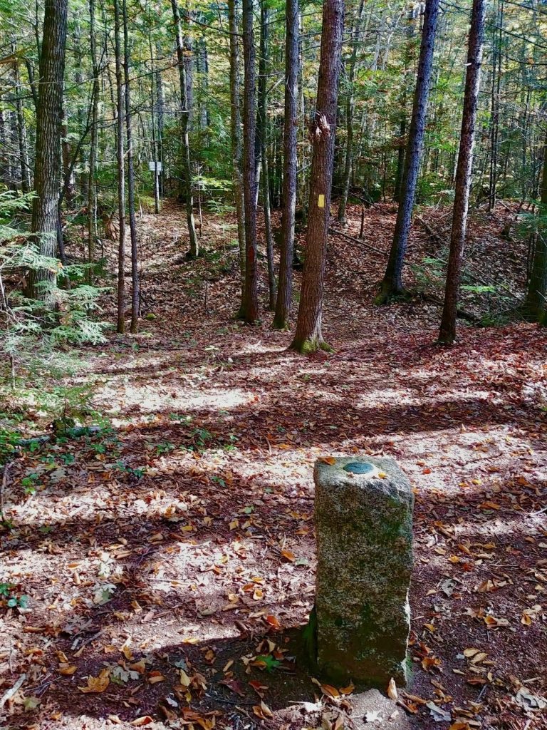
The shortest route to Little Deer Hill begins at the Baldface Circle Trail parking area, and follows the yellow blazed Deer Hills Connector. At 0.4 miles, you meet a trail junction and the start of the Deer Hills Trail. You cross Cold River on old dam abutments, which can be tricky when high water is rushing. To skip the dam crossing, you can park at the trailhead for Leach Link Trail. Leach Link offers a lovely 1.2 mile walk along a hemlock ridge above the east side of Cold River. It meets the Deer Hills Trail near the old dam. In just a few yards, you meet a granite marker for the Maine-New Hampshire state line. From here, it’s about a mile to the summit of Little Deer, and glorious views of the Baldface ledges. Return the way you came, make a loop by descending Frost Trail to Deer Hills Bypass, or continue on to (Big) Deer Hill and have a longer outing!
Deer Hill loop via Leach Link / Deer Hill / Frost / Deer Hills Bypass: 4 miles, 650’ elevation gain.
Caribou Mountain offers an alpine and wilderness area experience with reasonable effort. The loop may be done in either direction. Clockwise (my preferred route – get the steep done first) follows the Caribou Trail back and forth over Morrison Brook, enters the Caribou-Speckled Wilderness Area, steps over the base of lovely Kees Falls, then rises more steeply to the summit. Caribou is a wide-open summit with spectacular views, but can be cold and blustery. Be prepared! Step carefully on exposed rocks so as not to damage sensitive alpine vegetation. The trail across the summit ledges can be hard to follow, so watch for faded blazes and small cairns. Descend via Mud Brook Trail (don’t worry it’s really not that muddy).
Caribou Mountain loop via Caribou and Mud Brook trails: 6.9 miles, 1950’ elevation gain.

My final hike suggestion passes over the summits of Speckled and Blueberry Mountains, and is mostly contained in the Caribou-Speckled Wilderness Area. Begin your hike at the historic Brickett Place, just north of Stone House Road. Follow Bickford Brook Trail for 0.7 miles to Blueberry Ridge Trail. Cross Bickford Brook (difficult in high water), then immediately turn left (unmarked) to follow the wonderful swirling waterfalls of Bickford Slides for a 0.5 miles (the trail straight ahead will be your return trek). The Bickford Slides Loop rejoins the Bickford Brook Trail and continues for 2.7 miles to the summit of Speckled Mountain’s summit. It’s an open, rocky cone with excellent views towards Maine’s mountains and lakes. Retrace your steps for 0.5 miles, then turn left on Blueberry Ridge Trail toward the summit of Blueberry Mountain. Enjoy the many viewpoints and spruce woods along Blueberry Ridge. Take your time with photos, wildlife watching, and the mountain air. The trail junctions at the top can be confusing; take care to read all the signs, and keep bearing right. You do not want to take a wrong turn onto White Cairn or Stone House Trails. Keep following Blueberry Ridge Trail, which descends steeply back to Bickford Brook. Re-cross the brook where you took that sharp left hours earlier, then turn left to return to your car at Brickett Place.
Speckled and Blueberry Mountains via Bickford Brook, Bickford Slides, and Blueberry Ridge Trails: 8.6 miles, 2500’ elevation gain.

