Background
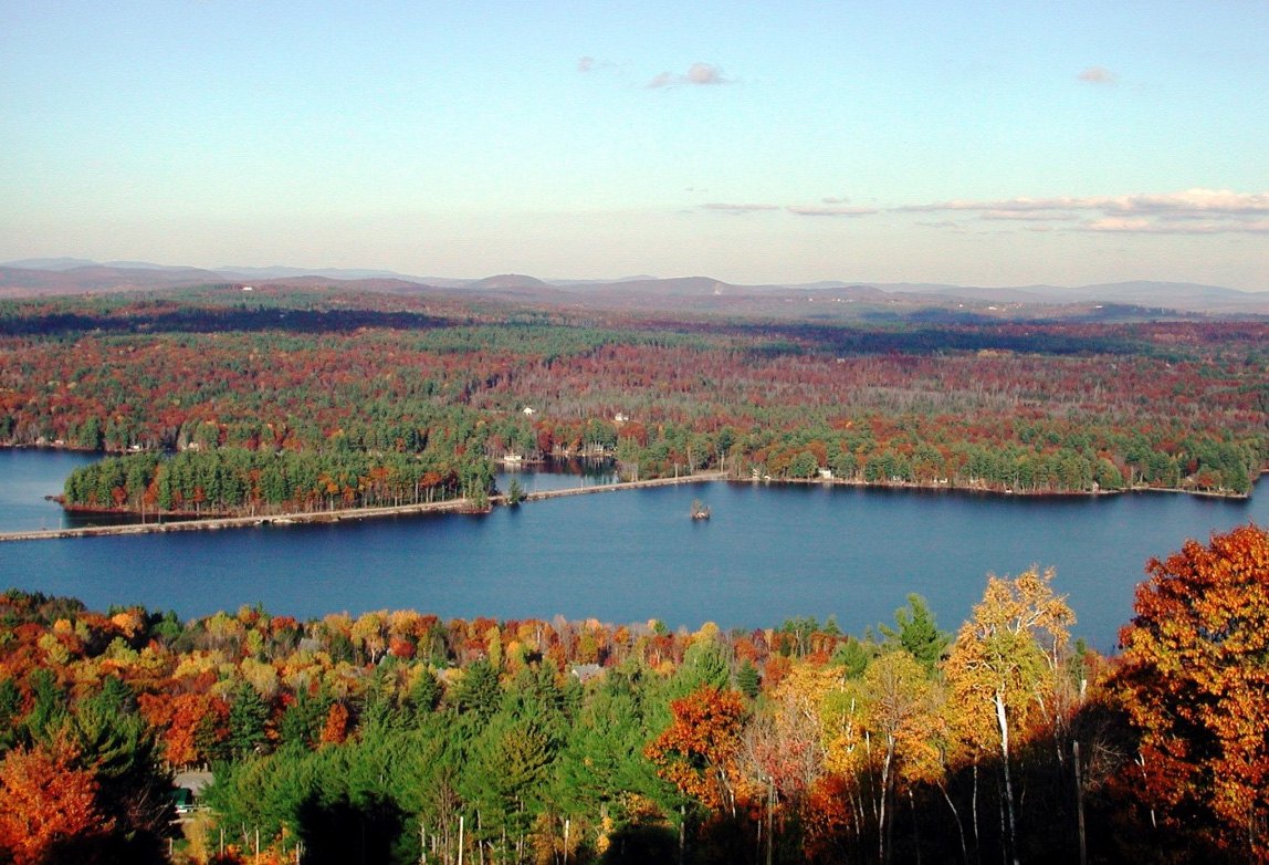
During the spring of 2020, the Moose Pond Association (MPA) and Lakes Environmental Association (LEA) conducted a water-shed survey within a portion of the Moose Pond Watershed.
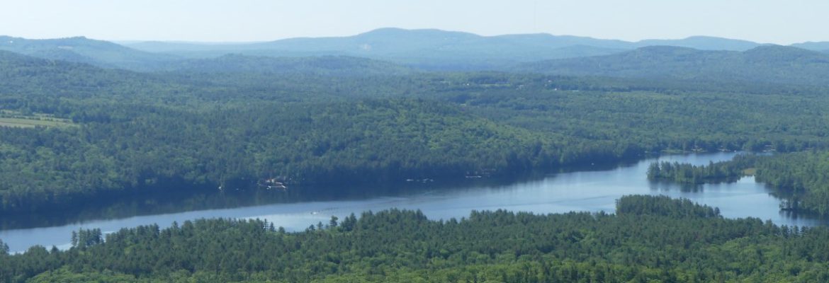
The main purpose of the survey was to identify and prioritize sources of pollution to the lake from its watershed. A watershed is all the land that drains to a lake. The Moose Pond Watershed encompasses almost 18 square miles.
Polluted runoff and the nutrients (principally phosphorus) that attach to eroded soil particles are the largest source of pollution to Maine’s lakes. Too much phosphorous entering a lake feeds algae growth to such an extent that algae can take over a lake and ruin water quality, recreation and even reduce shore-line property values.
The first watershed survey in the Moose Pond Watershed was conducted in 2011. Results of that survey served as a springboard to fix the most severe erosion problems through a large watershed protection grant project. But conditions change over time so it was necessary to update the documentation.
- Working with the Towns of Bridgton and Denmark to address erosion sites on public roads
- Make full findings available to interested parties
- Explore financial incentives to encourage land-owners to address identified issues on their own
- Consider re-surveying the remainder of the watershed

Watershed Survey
MPA and LEA used a new smartphone method to collect data. This new, faster method requires fewer people to gather data.
In May 2020, fifteen volunteers (usually working in teams of two) evaluated erosion sites on roads, properties, driveways and trails. Technical assistance and guidance for each team was provided by the DEP, LEA, and Fiddlehead Environmental Consulting. Teams made recommendations for fixing each problem site and rated im-pact on the lake and the cost of remediation.
Key Survey Results
Volunteers identified 98 sites in the Moose Pond Watershed that are likely impacting or have the potential to impact water quality. Key findings include:
- Erosion sites were identified throughout the watershed on public and private land. Consequently, everyone has a role to play in lake protection.
- Road and Driveway surfaces made up the largest percentage of erosion sites that were found (see pie chart on the right). While many of these sites are low impact, their cumulative impact can be significant. The good news is that many of these can be fixed easily with low-cost solutions.
- Over 65% of the erosion sites located during the survey flow directly into the water without ever filtering through vegetation. Establishing plants in these areas where possible will help to slow down runoff and trap harmful pollutants before they reach the water.
- 1/3rd of the roads with erosion problems are town roads, the remaining 2/3rds are either private roads or driveways.

Next Steps
With the survey complete, next steps include:
- Contacting individual landowners where high impact sites were identified
Sample Text

